A post of interest to mapping/visualising flight paths - from Cartography:
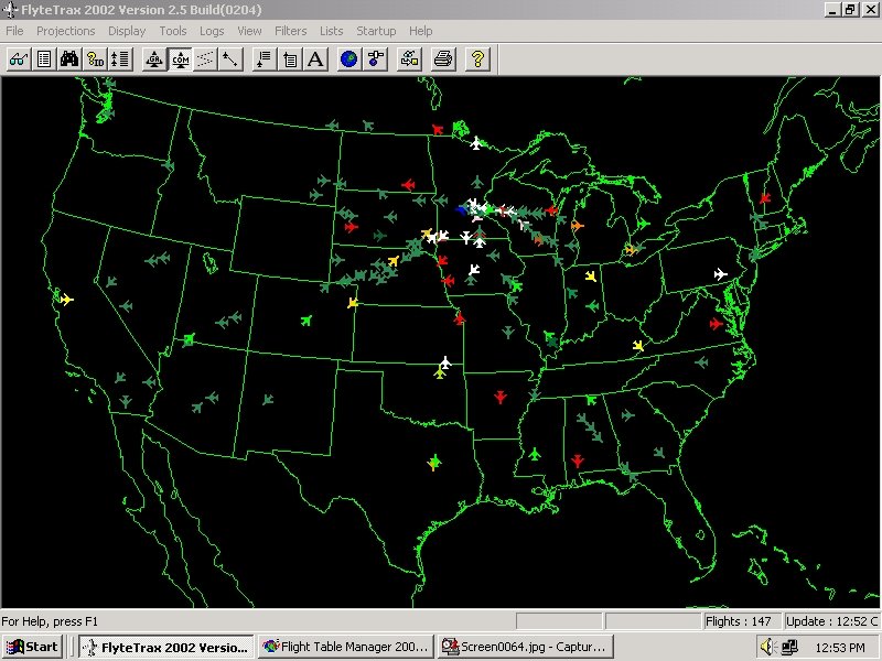
"Michael Peterson presented his flight atlas at last week’s Geotec / CCA conference. The atlas is collection of animated maps that show the movement of commercial aircraft across the United States and Canada in a 24 hour time span. The atlas is not available online - the 3.4 GB of animation makes that difficult to do - but it does have a website where some of its features are highlighted. Included is a sample animation (avi format, 13.2 MB; you might need to download the latest DivX codec for it to play properly) showing flights in and out of Atlanta. Data for the project was collected using the FlyteTrax program from FlyteComm. Users can select aircraft by type, airport or airline. A great tool for seeing air traffic patterns.
No comments:
Post a Comment